Taken from/By: FBC News
Report by: Kathrin Krishna
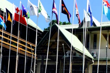
Pacific Geographical Information System and Remote Sensing Council will greatly help Pacific Island countries during natural disasters.
During the launch of the council, Minister for Mineral Resources – Faiyaz Koya said the system will enable the region to communicate better when natural disasters occur.
He said GIS was very beneficial when Cyclone Winston hit Fiji.
“With the provision of satellite imagery, we were able to prioritize and more swiftly to respond and rapidly rehabilitate and also engage in recovery assistance to our people.”
Koya also said that the Fijian Government would fully support the council in the coming years.
He also requested other pacific island counterparts to do the same.