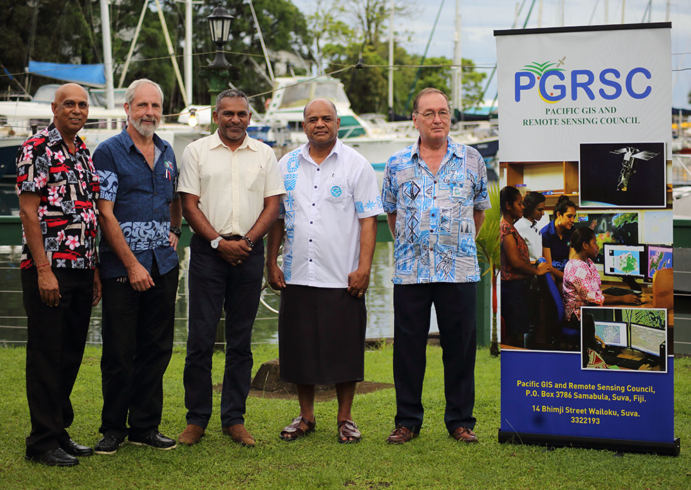
The Pacific GIS & Remote Sensing Council
The Pacific GIS & Remote Sensing Council (PGRSC) was established to oversee the activities of the Pacific Islands GIS & RS User Conference, the largest Pacific GIS regional conference held annually. As part of its objectives, the Council also provides expert guidance in building effective national GIS & RS User Groups, and an active Pacific-wide Geospatial community through their focal point network.
The Council was established in 2017, and is completely run by a group of dedicated volunteers.
News and Updates
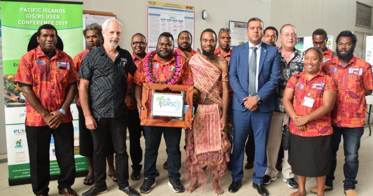
2021 Pacific Islands GIS and RS User Conference
Port Vila, Vanuatu
Stay in touch with us on Facebook, or the mailing list for up to date info on the 2021 Conference!